Maps & Graphics
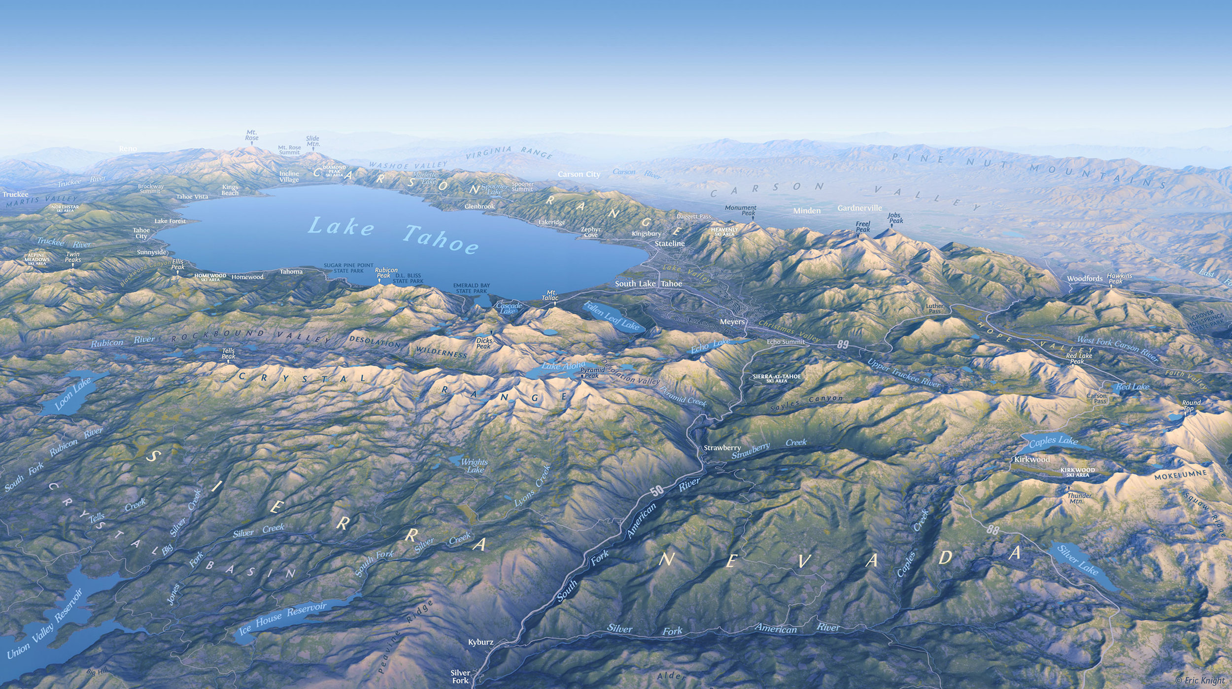
A beautifully rendered oblique map might be just what your project needs! Many of the maps on this page came about as collaborations with a variety of land managers, publications, designers and editors. Getting an interesting proposal in the inbox is one of the very best parts of my work as a freelance cartographer. I’d love to hear from you!
UKRAINE: A YEAR AT WAR
Supplement to National Geographic, June 2023
Editors: Martin Gamache, Matthew W. Chwastyk; Text and Research: Scott Elder, Heidi Schultz; Cartography: Eric Knight, Sam Guilford; GIS: Theodore Sickley; Time Line and Illustrations: Matthew Twombly; Text Edit: Eve Conant; Copy Edit: Cindy Leitner; Map Edit: Maureen Flynn; Design: Sandi Owatverot-Nuzzo
Copyright © 2023 National Geographic Partners
British Cartographic Society’s Stanfords Award for Printed Mapping: Highly Commended (2023)
Honorable Mention (Thematic Maps), 50th Annual CaGIS Map Design Competition
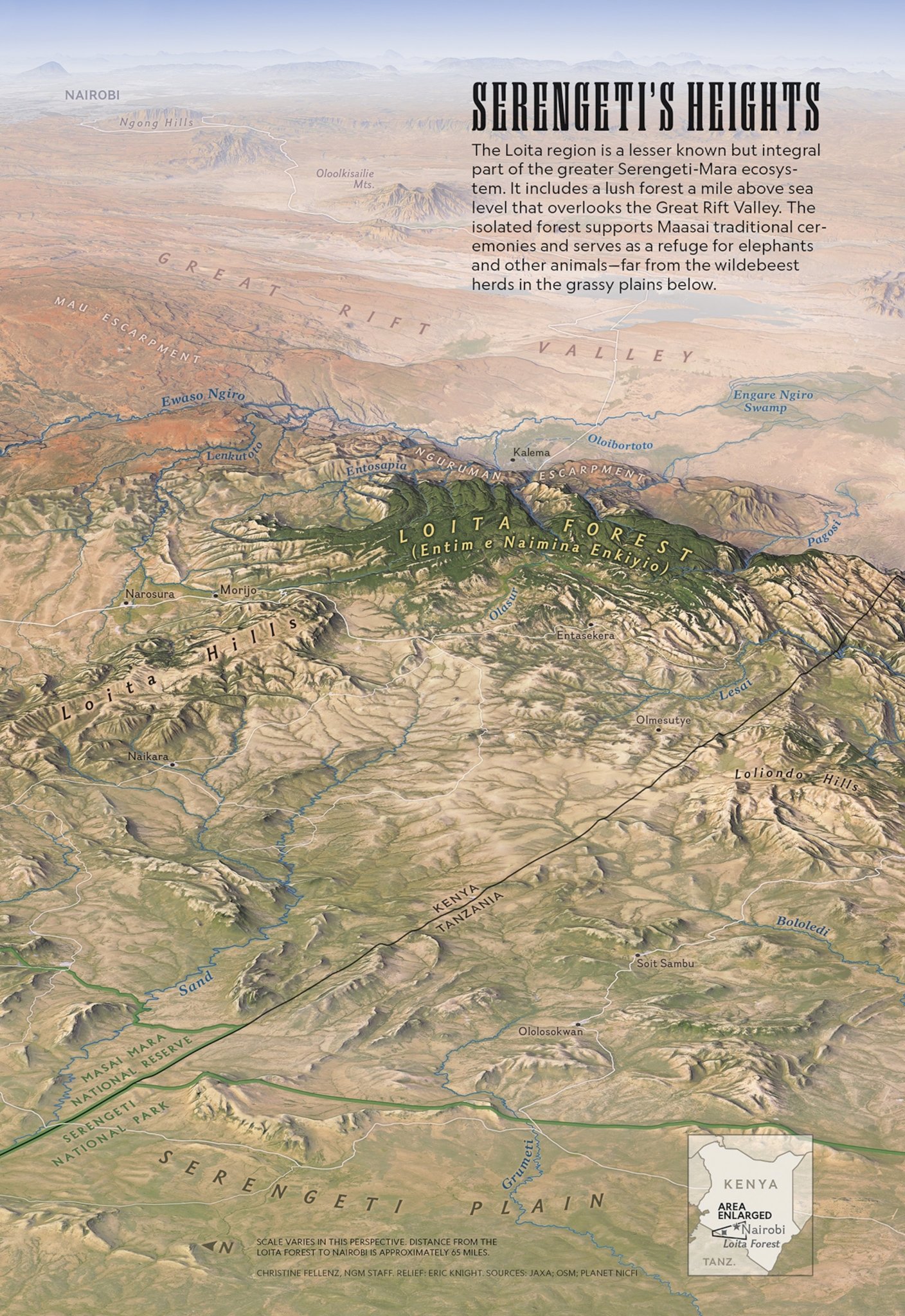
National Geographic Magazine, November 2022
Editors: Christine Fellenz, Diana Marques
Copyright © 2022 National Geographic Partners
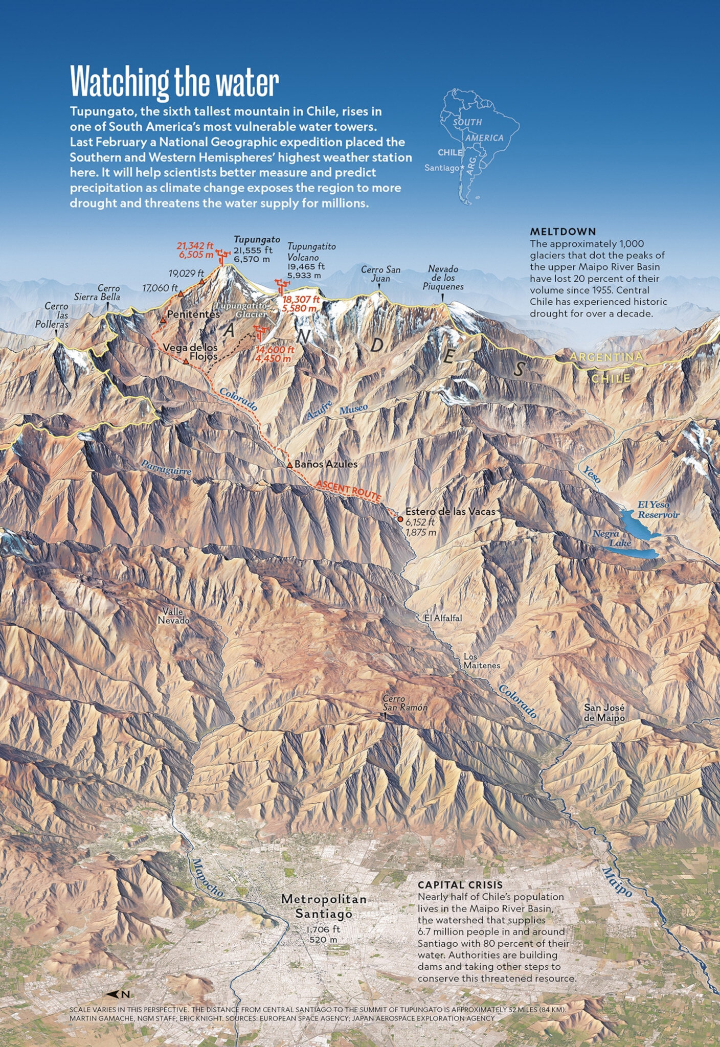
National Geographic Magazine, August 2022
Editor: Christina Shintani
Copyright © 2022 National Geographic Partners
National Geographic Magazine, April 2022
Editors: Diana Marques, Rosemary Wardley
Copyright © 2022 National Geographic Partners
National Geographic Magazine, March 2022
Editors/collaborators: Matthew W. Chwastyk, Manuel Canales, Alexander Stegmaier, Matthew Twombly
Copyright © 2022 National Geographic Partners
National Geographic Magazine, December 2021
Editor: Christine Fellenz
Copyright © 2021 National Geographic Partners
The MERCED RIVER WATERSHED for David Price Design/Merced Irrigation District
National Geographic Magazine, September 2021
Editor: Martin Gamache
Copyright © 2021 National Geographic Partners
Honorable Mention (Reference Maps), 2021 CaGIS Map Design Competition
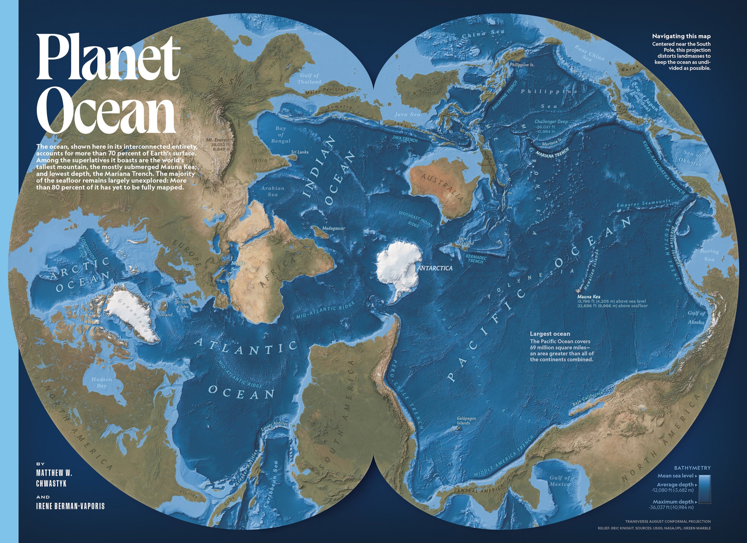
Background maps of the world’s oceans for National Geographic, May-June 2021
Editors: Matthew W. Chwastyk and Irene Berman-Vaporis; Rosemary Wardley; Christine Fellenz and Taylor Maggiacomo; Matthew W. Chwastyk and Soren Walljasper
Copyright © 2021 National Geographic Partners
Supplement to National Geographic Magazine, July 2020
Honorable Mention (Thematic Maps), 2020 CaGIS Map Design Competition
Editors: Matthew W. Chwastyk, Jason Treat, and Martin Gamache; Research: Irene Berman-Vaporis, Taryn Salinas, and Edward Benfield; Cartography: Eric Knight; Text: Eve Conant; Map Edit: Scott Zillmer; Design: Elaine Bradley
Copyright © 2020 National Geographic Partners
A version of this map appears in the May 2019 issue of National Geographic Magazine
CALIFORNIA’S WATER CHALLENGE
October 2014, National Geographic Magazine
Editor: Virginia W. Mason, Research: Kelsey Nowakowski, Text: Jane Vessels, Graphics: Matt Twombly, NG Staff. Relief and data rendering: Eric Knight.
Miguel Urabayen Award for Best Map and Gold medal – Malofiej, Society for News Design
Honorable Mention, Thematic Category – Cartographic and Geographic Information Society Map Design Competition
Award of Excellence, Combination Print and Digital – Society of News Design, Best of News Design Competition (with Xaquin G.V.)
Copyright © 2014 National Geographic Society
MONTEREY BAY NATIONAL MARINE SANCTUARY CENTER: Sounds in the Sanctuary exhibit
YOSEMITE VALLEY VISITOR CENTER: Illustrations based on historic paintings by Herbert A. Collins Sr. and Jr.
VALLEY WALLS by Glen Denny
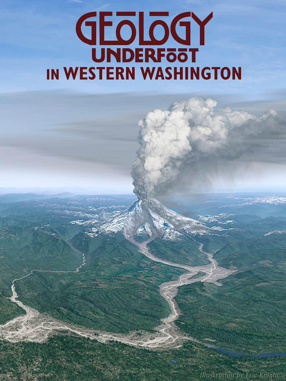
Cover Illustrations for the GEOLOGY UNDERFOOT series, published by Mountain Press
SANTA CRUZ NATURAL HISTORY MUSEUM: PATHWAYS THROUGH OUR PARKS
WAYSIDE EXHIBITS in Yosemite National Park
STRAWBERRY, CALIFORNIA LiDAR-derived shaded relief map
THE WATERFALLS OF YOSEMITE by Steven P. Medley, designed by Nancy Austin
The ROAD GUIDE TO YOSEMITE by Bob Roney


